


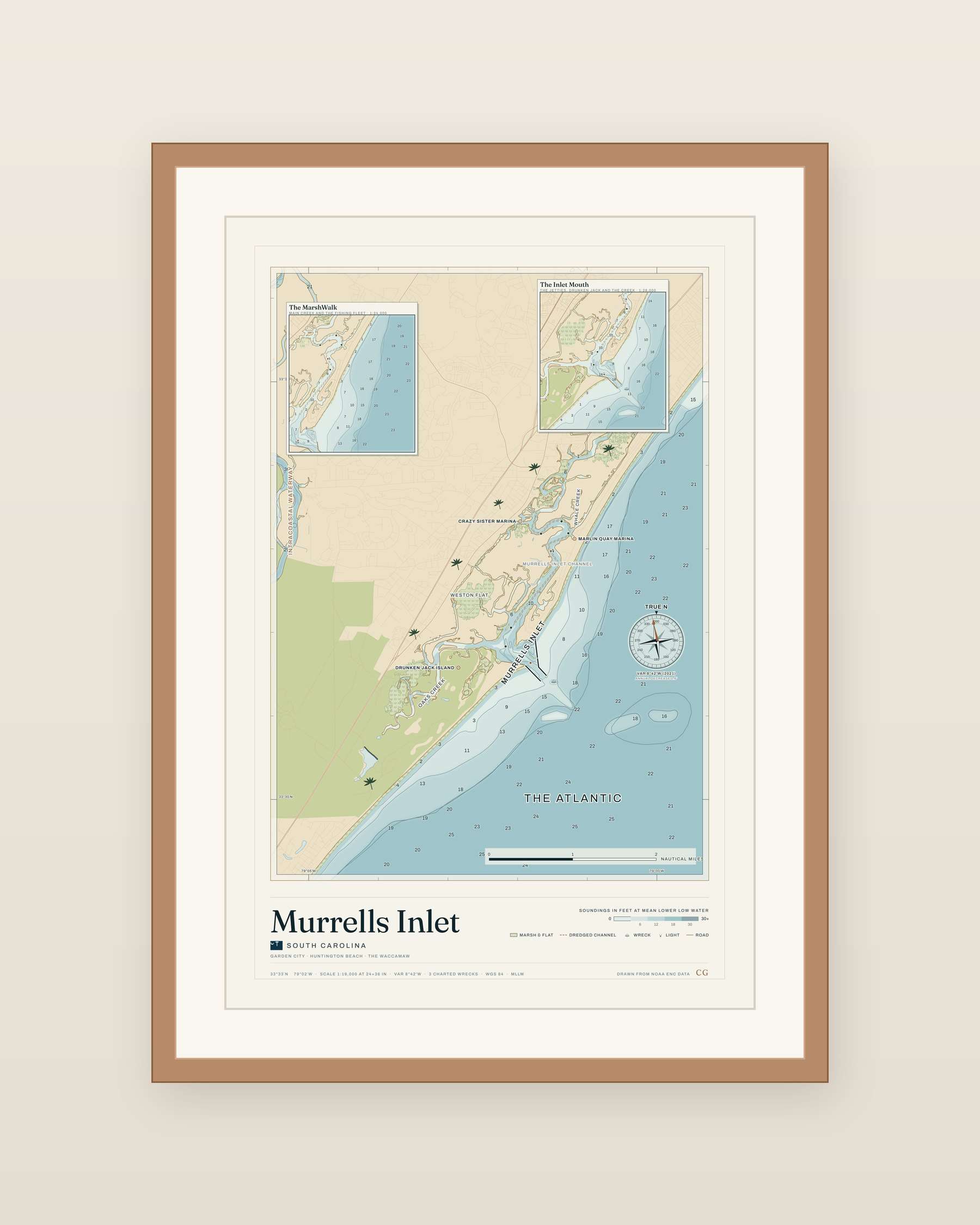


Murrells Inlet Nautical Map Print
Main Creek past the fishing fleet, the marsh islands behind the beach, and the jettied mouth at the lower end of the estuary. Drawn from NOAA chart data.
Colorway
Frame
Size
Printed and shipped from the USA. Damaged or misprinted? Free replacement within 30 days.


Reviews
There are no reviews yet.